Sourav Selvaraj
Sentinal Drone
Objective
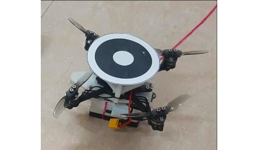
Nano Drone manipulated wirelessly, leverage them for surveillance tasks, using methodologies like the image processing and uploading data to GIS (Geographic Information Systems). Nano drone has Raspberry Pi Zero as its onboard controller runs ROS client, connects to ROS master on laptop. Worked on electronics and PID control for the stability of the drone and image processing using OpenCV to detect the object
Tech Stack
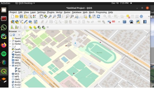
Geographical Information System
Plotting the location of the drone in Openview street map